
Merge Pair Data
When two assessors record measurements at the same location, Merge Pair Data combines them into one map marker. This keeps the map clearer and avoids showing duplicate points.
Merging Measurements
1. On the map toolbar, click the Merge Pair Data icon: .
2. In the Merge Wizard, choose the lead assessor for each pair from the dropdown menus.
- The selected lead assessor’s measurement details are kept in the merged result.
- A dropdown appears for every detected pair, such as Lead (Group 1), Lead (Group 2), and so on.
3. Click the Merge Data button to apply the merge.
Note: If there is no paired data in the surveys you have selected, the wizard will tell you.
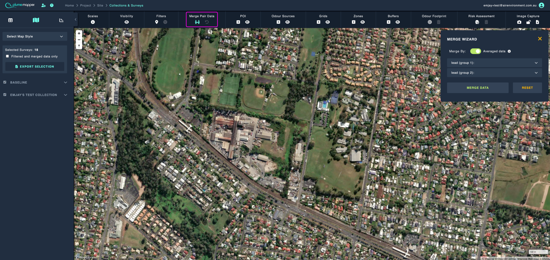
Choose How Odour Data Is Merged
If you are using EPA Victoria (Australia) scales and the survey includes timed measurements, select how the pair’s odour data should be combined:
- Highest values - Uses the highest value recorded by either assessor. This is the default option.
- Averaged data - Calculates average percentages using the timed measurements, including frequency distributions and odour hour.
Otherwise the highest values are merged by default.
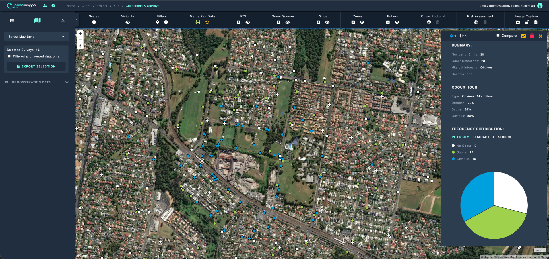
Reset a Merge
To return to the original, unmerged measurements:
1. Click the Reset Merge icon: in the map toolbar.
2. Alternatively, open the Merge Wizard and click Reset.
While a merge is active:
- The Merge Pair Data icon is green.
- The Reset Merge icon is orange.
- The reset icon is greyed out when there is no active merge to clear.
Note: Resetting merged data also clears any risk assessment currently displayed on the map.